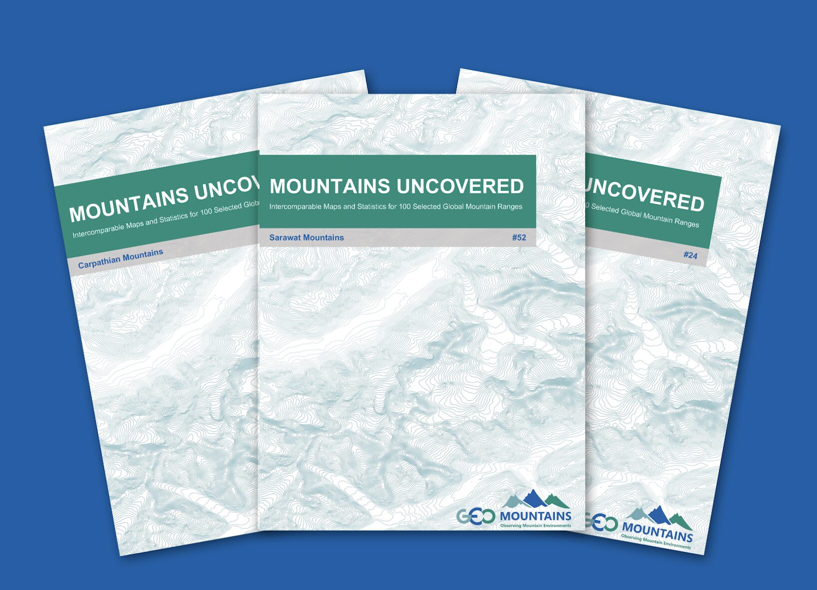
The Mountains Uncovered Series: Intercomparable Maps and Statistics for 100 Selected Global Mountain Ranges
Introduction
The Mountains Uncovered series (v1.0) was developed by GEO Mountains, an Initiative of the Group on Earth Observations (GEO) and a Flagship Activity of the Mountain Research Initiative. It seeks to provide an easily understandable overview of the key characteristics of 100 selected mountain ranges around the world.
An example report can be downloaded from the right-hand column. Explore the rest of the Mountains Uncovered series online!
Methodology
The series was developed by collating and visualising a variety of current global scale, open data products. The series maintains a consistent approach, facilitating comparisons between mountain ranges. This first version is limited to 100 ranges only. We prioritised those mountain ranges in the focal regions of the Adaptation at Altitude Programme (i.e.: the Andes, Caucasus, Central Asia, East Africa, and Hindu Kush Himalaya). The remaining ranges were selected based on a combination of their extent and perceived relevance in various respects.
Key messages
The GEO Mountains community aim for the series to serve as a useful resource for researchers, policy-makers, environmental managers, educators, and others seeking to better understand the Earth’s major mountain regions, including in relation to climate change adaptation. We also hope that, over time, it will inspire the generation of additional datasets, analyses, and products.
Further resources
Suggested Citation: GEO Mountains (2023). The Mountains Uncovered Series: Intercomparable Maps and Statistics for 100 Selected Global Mountain Ranges (v1.0). doi: 10.5281/zenodo.8010166
Further resources
The Adaptation at Altitude Solutions Portal: A global database of CCA solutions for mountain regions
Global Network for Observations and Information in Mountain Environments

Regional Climate Data Conference: Experts Unite to Ensure Data Accessibility through Collaborative Efforts
Mountain observations: Monitoring, data, and information for science, policy, and society
Comments
There is no contentYou must be logged in to reply.